
Some picture uploads failed, follow later.
If you weren’t already blown away on the way to Durmitor, then it gonna happen just there.
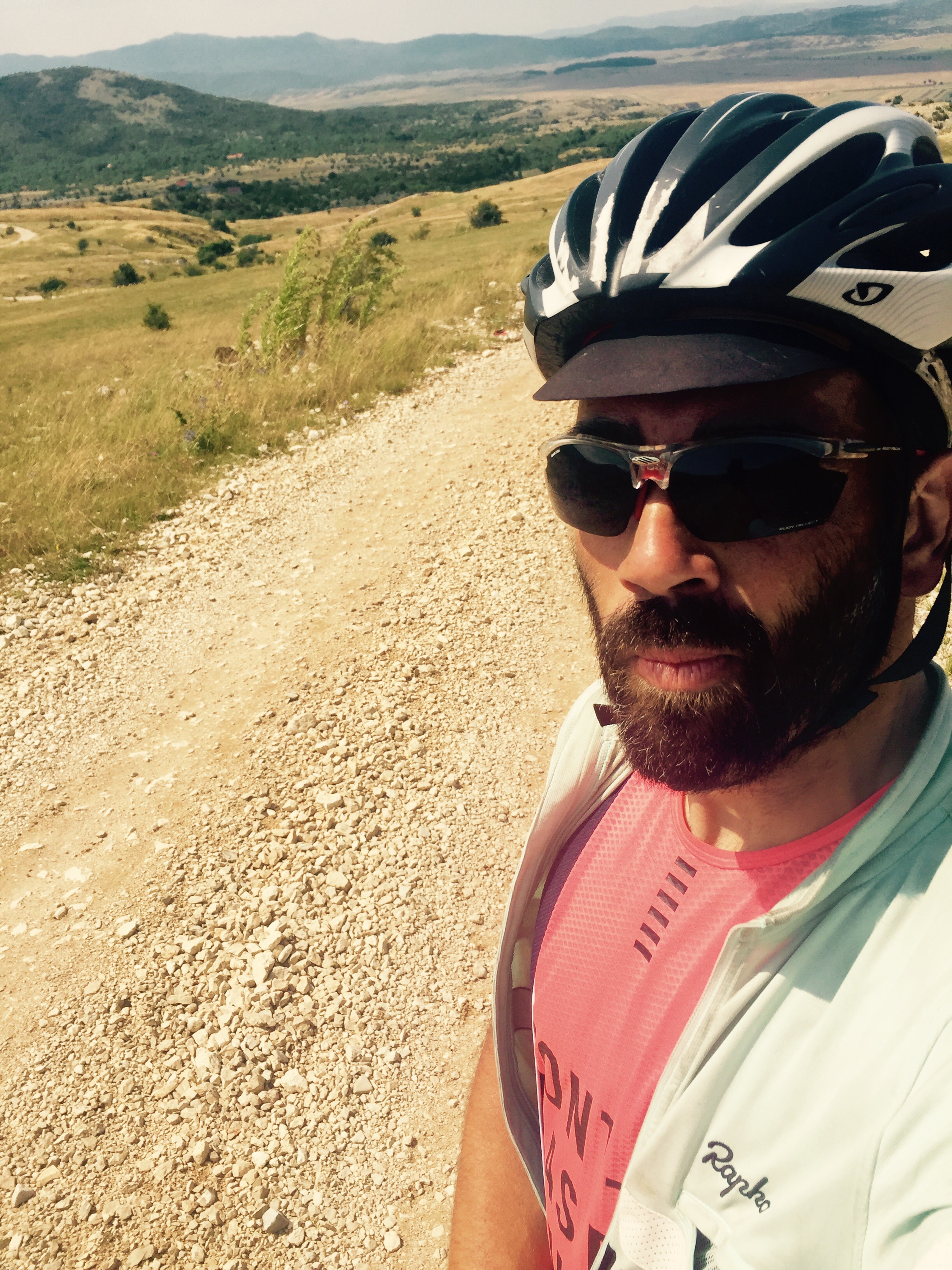
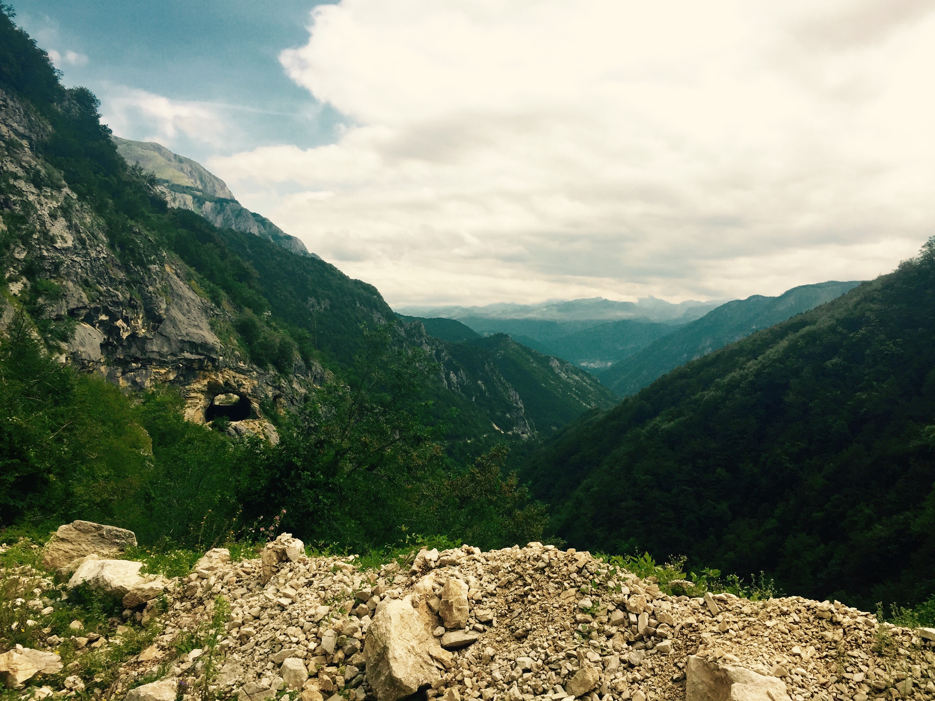
I chose a pretty particular way to get there, called r432a. With the help of Ivan I could figure out that this path can be used for border crossing even there was no border control. Before this walk I charged coffeine and carbs in Gacko, full of Börek, I crossed the border.
The parcours at check point 04 was the longest of all, 40kms with a final pass to be crossed at almost 2000m of elevation.
Dinner in freezing cold Zabeljak, saying goodbye to Camille and John the photographer and leaving. Crazy night ride, only climbing. I think climbing shall really be over now. Endless roads to be climbing, water on the roads and dogs!
I did not plan to stop, but I had to. Really this climbing sucks. It really sucks!


Was the road really so bad? From yours pictures it looks like solid standard `meadow` dirt road with not so big rocks.
Many times in the forests are much worse ones with bigger rocks etc.
From the satelite view it looks like it is just near 4km of it and with the first house on bosnian side there is asphalt again, right?
https://www.google.com/maps/place/R432a,+Bosnia+and+Herzegovina/@43.1509636,18.630275,16z/data=!3m1!1e3!4m2!3m1!1s0x134ce8693621e06d:0x32d9116bc01849d6
…or maybe not – the quality of view is not so good to clearly distinguish.
btw. the bosnian border policy is just TERRIBLE!
For example the road on Krstac crossing is much better/wider than on Scepan pojle / Hum crossing. And there is very long part of border without international crossing…
–> you have to drive 135km
https://www.google.com/maps/dir/43.3484007,18.8468742/42.8598598,18.4810638/@43.0379314,18.7217242,10z/data=!4m2!4m1!3e0
LikeLike
There is a website where you can find all Bosnian borders and their regulations. The road had been too steep for cycling on 25mm wheels. One Golf1 went on this road, pretty slow but he got it done.
LikeLike
Yeah, I know about it. Now they have fine `interactive map`. Recently was just some very blurred low-res map available there.
So the main problem was the uphill angle of road and not the quality? Sure it is going up strong:
https://www.google.com/maps/@43.1472298,18.6232691,15z/data=!5m1!1e4
In case you are going from MNE side (downhill) it should be much better.
I have a car with a bit lowered clearance so that’s why the most important is the evenness of the road (no deep tracks with bump between and no big stones).
Last year I passed this road – half of it was forrest road with bad quality.
https://www.google.com/maps/dir/42.8290864,21.9209862/42.7326396,21.8393612/@42.7812646,21.8809715,13z/data=!4m2!4m1!3e0!5m1!1e4
Does the asphalt really start on the point I marked in previous post?
thanks
LikeLike
The ride from the main road up to these house was bad asphalt, but ‘paved’. The rest I would not recommend to any car but a all terrain vehicle. If your clearance is even lower, I don’t see you going this way. Several holes and peaks on the way. For walking and cycling just breath taking, for riding a car that is not made for it, probably pretty much a pain.
LikeLike
I understand, but it is just very tempting to try it in the future.
As I said there are no usable border-crossings around and it is just 4km of pain.
It should be very nice shortcut and even in the case those 4km took one hour it is still better than go 150km around ;o)
From your pictures it looks similar like this one I passed already:
https://www.google.com/maps/@38.6223278,20.5844608,3a,66.8y,140.66h,71.31t/data=!3m4!1e1!3m2!1sF:-jqMe7gf8r9E%2FUbiOxYjWY1I%2FAAAAAAAAA54%2FGwYq8ZpWkUwAr6YPUVroL467zxnyTFWLg!2e0
LikeLike
Same reason for me, a good shortcut. 150kms on the bike makes an even bigger difference than for a car.
LikeLike
Is there really no border check on 432a?
From the satellite view it looks like after the asphalt start on the border there is some building and barrier on the road….
LikeLike
Nothing. Can be that there had been a rotten cargo box control station on Bosnian terretory, but definitely no patrols. Most peaceful border crossing of the entire ride.
LikeLike
That’s really very interesting!
I was turned back few years ago with the car on the `Krstac` border crossing which is in the same area because `it is just for local people`…
And this one is asphalted from MNE side and just about 4 km of dirt road from BiH side right?
So it is suitable for passenger car.
btw. I meant this one part:
https://www.google.com/maps/@43.1614512,18.6573814,186m/data=!3m1!1e3
LikeLike
Exactly. This had been the crossing. Coming from Avtovac heading towards Pluzine. I won’t ride this road with a car, unless it was an Unimog or similar, on the Bosnian side. It took me a good while to figure out all these border crossing challenges. As I had some trouble earlier this year, I invented some more time into the details. Amazing area. The gravel pictures are from climbing r432a.
LikeLike